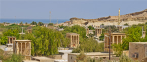
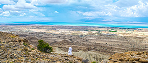
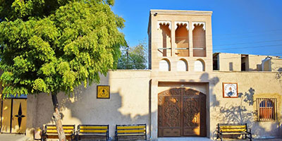
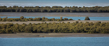
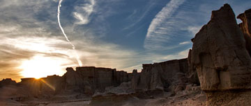
Geolink

Code : G17

Over 70,000 years ago, as the Persian Gulf came into being, various marine habitats have been formed along the southern shores of Iran and the Islands of the Persian Gulf. Ecologically, Qeshm Island has special importance due to its place in the communication channel of the Persian Gulf and the Sea of Oman. Qeshm Island has different shorelines due to its geographical situation and diverse coastal and tidal habitats that have been formed in it. The southern shores of Qeshm Island are almost rugged and sandy with a steeper slope than the northern coastline. The south coast of Qeshm Island around the Salt Dome includes trivial geological phenomena. The existence of these phenomena has led to the introduction of various geosites like Karagh beach, Shur Valley, Geolink, and Namakdan Salt Dome by Qeshm Global Geopark. Geolink Geosite is located in the area between Shur Valley and Namakdan Salt Complex on the southern edge of the Salakh anticline. This geosite realistically is like an exhibition of geological phenomena related to anticlines and erosion. Proximity to the southern shore has also increased erosive forces and led to form interesting erosion phenomena at this site. In addition to its geological value, this site also is important in terms of educational and scientific purposes and research activities.


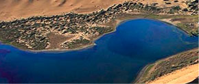
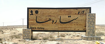
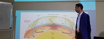
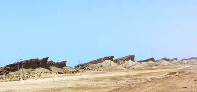
Where Geolink geosite is located ?

Qeshm Geopark - ALl rights reserved | Designed & developed by Hezare media