Jaziratoo
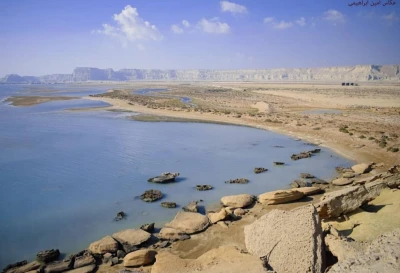
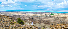
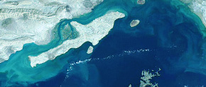
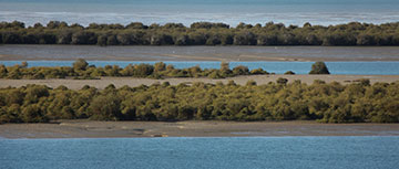
Simultaneously, during the formation of the Persian Gulf about 70,000 years ago, various marine habitats have been formed on the southern shores of Iran and the Persian Gulf islands. Ecologically, Qeshm Island has special importance due to its place in the communication channel of the Persian Gulf and the Sea of Oman. Qeshm Island has different coastal regions due to its geographical situation and diverse coastal and tidal habitats that have been formed in it. The southern shores of Qeshm Island are almost rugged and sandy with a steeper slope than the northern coastline. In some parts of Qeshm Island, there are a few hills and rocky lands that their access and connection to the island take place just at low tide, and at the time of high water, their access is only possible by sea. The Jaziratoo geosite, which is an example of these areas, is located in the west of Qeshm Island, near the Dustaku village. The rocky habitation, in the vicinity of the sandy habitat, provided an appropriate environment for aquatic and species compatible with this ecosystem and have formed rich biodiversity. In addition to its biological importance, this geosite is one of the tourist attractions and ecotourism activities. This geosite is located in the west of Dustaku village, where locals use this area as a site for catching fish, especially traditional fishing. In addition to the significant value and importance of geology, this site is exceedingly valuable in terms of educational, scientific, and research activities.
Related downloads
Where Jaziratoo geosite is located ?


