Basira
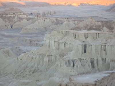
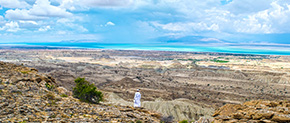
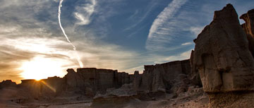
Basira geosite is located in the west of Qeshm Island, between Gori and Morad villages. This geosite consists of high flat hills with precipitous walls, and as a result of erosion performance on its slopes, novel erosion forms such as tower-like shapes and stepped structures have been created. Most of the rock outcrops in this area are related to the gray marl and brown sandstone deposits of the Aghajari Formation. In the formation of erosion forms in this area, the flatness of the layers, the extent of marl deposits, and the shaping of long and parallel tensile joints also play an important role. Piping erosion forms in this area are simple and involve several funnel-shaped holes or pits along with the fractures. The wavy and curved walls in most of the marl precipices of this geosite used to be erosion wells that gradually reached the surface as the erosion progressed, and now, their external form can be seen in the walls of the marl precipices. The development of the piping erosion process has also accelerated the erosion of marl layers and forming the underground corridors. This kind of erosion is caused by the penetration of rainwater flow through rock crevices and reaching the loose and fragile marl layers. The high intensity of destruction and erosion of marl and sandstone layers has caused the accumulation of debris and particles at the foothills. The erosion and destruction had not prevented the creation of picturesque landscapes and led to the shaping of various forms associated with the deterioration of flat layers.
Related downloads
Where Basira geosite is located ?


