Korkora kooh
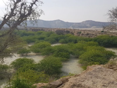
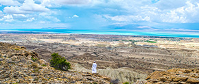
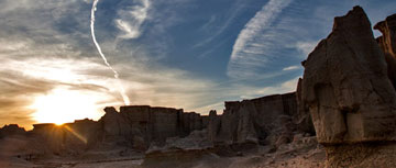
Qeshm Island is naturally a unique island in the Persian Gulf. Most of the landscapes are formed by the running water erosion due to the seasonal rains and streaming into the lands, consisted of rock outcrops. Korkora-kooh geosite is located in the central district of Qeshm Island, the eastern part of Giahdan village, which is about 25 km away from Qeshm city. This geosite has been exposed because of the eruption of marl deposits in the Aghajari Formation in the core of the Holor anticline in this area. The dominant and visible kind of erosion in this area is Badland, which is formed by washing the hillsides and a significant accumulation of erosive grooves and drainage channels. In these lands, since most of the particles are made of clay and water flow is not permeable, due to surface erosion, the patterns of Rill Erosion and Gully Erosion have been shaped with high density in the form of hundreds of small valleys alongside each other. In fact, when it rains, the water flow on the foothills in the direction of the slope causes the creation of numerous grooves and waterways. The erosion process in the marl layers and forming the underground corridors due to the penetration of water flow through rocky crevices and frail layers has played a major role in the shaping of various types of erosive forms. The spectacular and amazing shapes of Korkora-kooh geosite have a high aesthetic value which is highly important to protect them from any damage. This geosite has a unique and wonderful perspective, especially for those who are interested in sightseeing and photography. Also, this site has a high study and research value because of its geological and geomorphological potentials.
Related downloads
Where Korkora kooh geosite is located ?


